"Water flows downhill." It's a phrase I've always required my physical geology students to memorize, and I always ask at least one test question to ensure that they've learned it. But I do have a reason for emphasizing such a seemingly obvious point.When I was growing up in southwestern Virginia and would express my interest in geology to adults, I would often hear "You know, the New River in Virginia is one of only two rivers in the world (the other being the Nile) that flows north." When I would ask why this was the case, no one could seem to explain it. It eventually occurred to me that water could only flow downhill, and when I got my first world atlas as a birthday present I quickly discovered that there were lots of rivers that flow north, including the Niagara River, which is vigorously and emphatically flowing both north and downhill in the photo above. Yet, judging from the comments I've heard from my Virginia geology students, this myth is still alive and well. (I find it interesting that in my travels, whenever I encounter a town on a river that happens to flow north, I'm usually told by a resident that it's one of only two in the world that does so.)Because water flows downhill, it will tend to flow off of each side of linear chains of mountains. The imaginary line that runs along the crests of the mountains and divides the water flow into two directions is called, imaginatively, a divide. North America has several of them, and each one directs water off to a different ocean or drainage basin:
Image credit:"NorthAmerica-WaterDivides" by Pfly - Own work. Licensed under Creative Commons Attribution-Share Alike 3.0 via Wikimedia Commons http://commons.wikimedia.org/wiki/File:NorthAmerica-WaterDivides.png#mediaviewer/File:NorthAmerica-WaterDivides.png
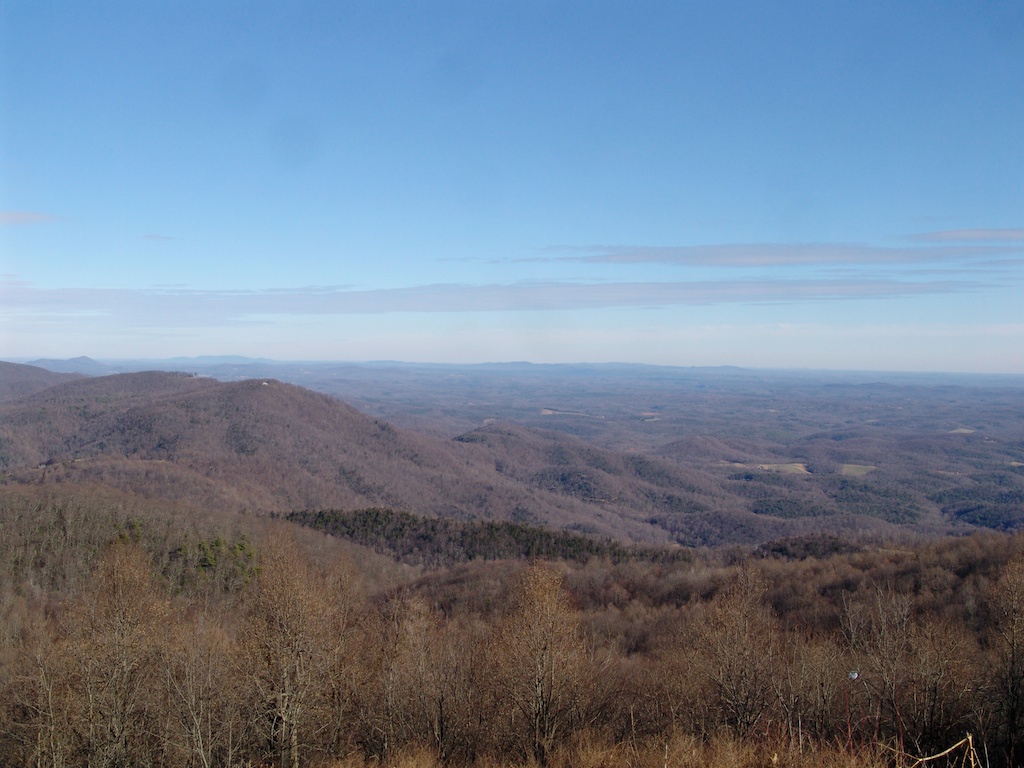
I've crossed two divides on this trip. The first was two days ago, when I crossed the Eastern Continental Divide, which follows the Blue Ridge Escarpment for much of its length. The other I crossed today in New Mexico, the Great Continental Divide (although the "Great" is usually dropped): Pretty much all the water between these two divides eventually flows into the Gulf of Mexico. The vast majority ends up in the Mississippi River Basin, a vast area which all flows into the Mississippi River:
"Mississippi River Watershed Map" by National Park Service - http://www.nps.gov/miss/riverfacts.htm. Licensed under Public domain via Wikimedia Commons - http://commons.wikimedia.org/wiki/File:Mississippi_River_Watershed_Map.jpg#mediaviewer/File:Mississippi_River_Watershed_Map.jpg
The Mississippi River Basin is the 5th largest river basin in the world by area; at over 3 million square kilometers it's almost half the size of Australia. The majority of this basin is relatively flat and low in elevation, and it has been that way for a long time. In fact, this basin is low enough that it's fairly unusual for it to be exposed as dry land; during much of the past 500 million years it has been below sea level, as a relatively shallow epeiric sea. For example, look at the following rocks, which were all deposited in marine settings: Cambrian Period sandstones, from Iowa
 Ordovician Period limestones, from Indiana
 Silurian Period limestones, from Ohio
 Devonian Period shales, from Kentucky
 Mississippian Period limestones, from South Dakota
 Pennsylvanian Period limestones and shales, from Nebraska
 Permian Period limestones and shales, from South Dakota
 Jurassic Period shales, from Wyoming
 Cretaceous Period shales, from South Dakota
 Paleogene Period whale, from MississippiIf you're counting, that's an oceanic deposit in every geologic time period from the last 500 million years, except for two: the Triassic and the Neogene (the one we're in now)! The Mississippi River Basin has been mostly dry land (except for the rivers) for the last 35 million years or so, but historically that has often not been the case. Basically I spent the last two days driving across a dry seafloor, with the fossilized remains of the creatures that used to live there buried just below the surface.


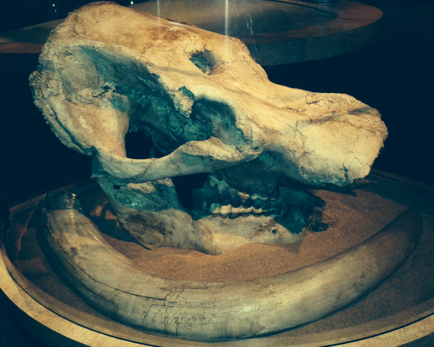
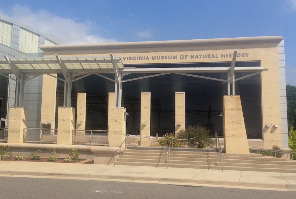
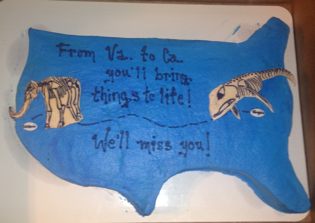
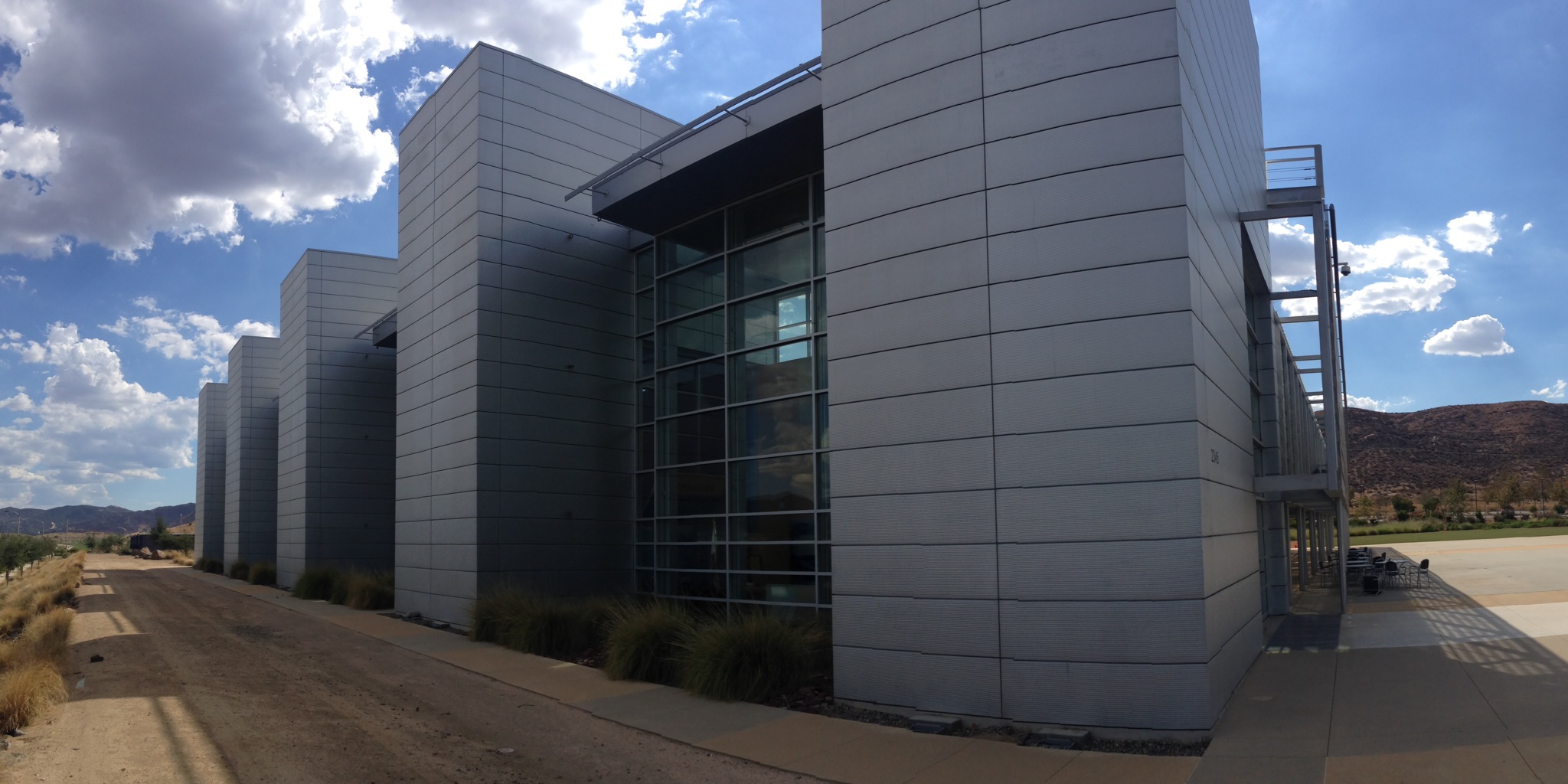 Today was my first official day as director of the Western Science Center. As with most new jobs, the first day was somewhat hectic, and mostly filled with paperwork.In addition to the usual tax and payroll-related paperwork, starting a new job in an academic institution like a museum also means setting up computer access and email accounts. In my case, it also means reviewing lots of museum policy documents, such as collections and ethics policies, board procedures, and budget sheets.I did get out of my office for awhile, though, for a last look at the Beatles exhibit (the exhibit closed yesterday, but we've only just started to remove it). I also took time to get to know some of the staff, and to look at some of the lab facilities. And, of course, I couldn't let my first day in the Valley of the Mastodons pass without looking at some mastodon remains: